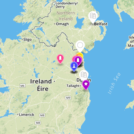
Molloy Media Archaeology Project

Student produced as well as documented and narrativized their experience of urban and rural space, historical sites, and religious sites, combining the unique qualities of each location (GPS coordinates, landmarks, etc.) with a linear telling of their site specific experiences in the Boyne Valley Ireland.

In participation with Dundalk Institute of Technology.

The Map

You are about to experience an interactive map and archive of the Boyne Valley in Northeastern Ireland. The map and archive were created in the spring of 2016 by the students of Molloy College Media Archaeology class in consultation with Matt Applegate, Jamie Cohen, Maraget DeLima, and Destinee Day.

Interactivity

The large white icons are locative tags for the larger descriptions and excursions. The colorful icons are locative tags that are GPS accurate. The map operates on Mapbox and is licensed as Attribution-ShareAlike 4.0 International (CC BY-SA 4.0) Creative Commons Share Alike agreement.

The Archive

Students catagorized, organized, and archived the locations and artifacts of the Boyne Valley Ireland as part the Cultural Landscapes Certificate from Dundalk Institute of Technology. The archive acts as a temporal object of the trip in May of 2016. The archive operate on Omeka.